Author: Ertan Özcan
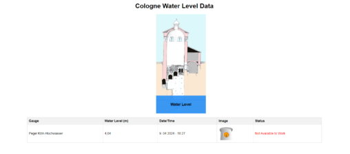
A program that measures and graphs the water level of the Rhine. You can access the live version of the program here. You can click this link for the…
Digital Heritage LAB 3D GIS: Erkunden Sie Denkmäler in 3D! Das Digital Heritage LAB 3D GIS ist eine WebGIS-Anwendung, die 3D-Modelle von Monumenten aus der ganzen Welt präsentiert….
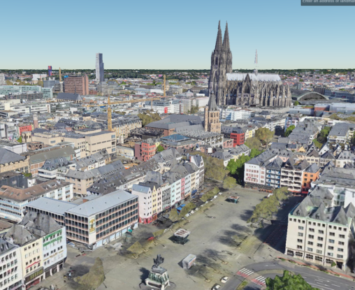
Cologne’s Monuments in 3D: Help Us Document History! We’re on a mission to create a stunning 3D record of Cologne’s monuments, entirely through a volunteer effort! We’ve already…
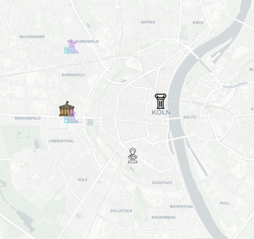
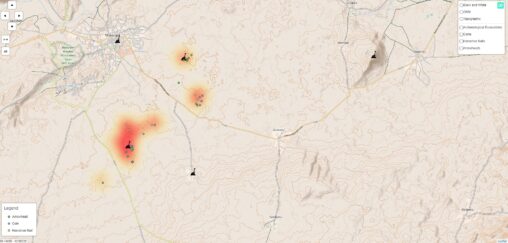
Dive into Cologne’s rich past with an interactive map of its historic monuments! This project uses freely available open data to pinpoint these iconic landmarks, making it a…
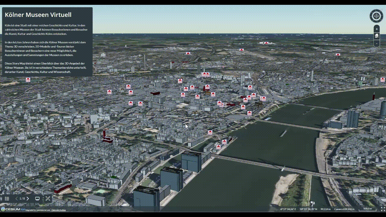
Cologne boasts magnificent museum collections alongside world-famous monuments nominated for World Heritage status. But what if the weather isn’t cooperating? Don’t worry! ☔️ This past rainy weekend, I…
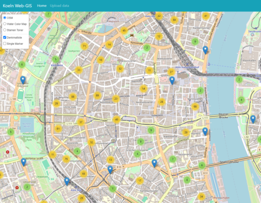
Maps with Leaflet Leaflet isn’t your average map maker. It’s a powerful JavaScript library that lets you build interactive maps that go beyond just showing locations. Imagine creating…
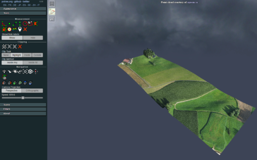
Potree to the Rescue! Struggling with bulky 3D point cloud data? Potree is your superhero! This free and open-source viewer tackles massive datasets, making them web-ready for smooth…
Explore Cologne’s Monuments in 3D! Dive into Cologne’s rich history and architecture from the comfort of your home with the “Project 3D Monumente”! This innovative project curates a…
Digging into the Past with QGIS: A Free Tool for Archaeologists Unearthing the secrets of the past just got a little more digital! QGIS, a free and open-source…